Mitigation Watch is a GIS-based Module of the iSmart System that is used for pre-disaster planning to:
Identify Hazards and Risks due to a particular event or disaster
Provide the tools for the Agency for their plans & programs to address the identified hazards and risks so as to reduce its effects.
Monitor Mitigation Plans and Programs to see its effectiveness over time.
To provide Reports as needed by the Agency on its Mitigation measures.
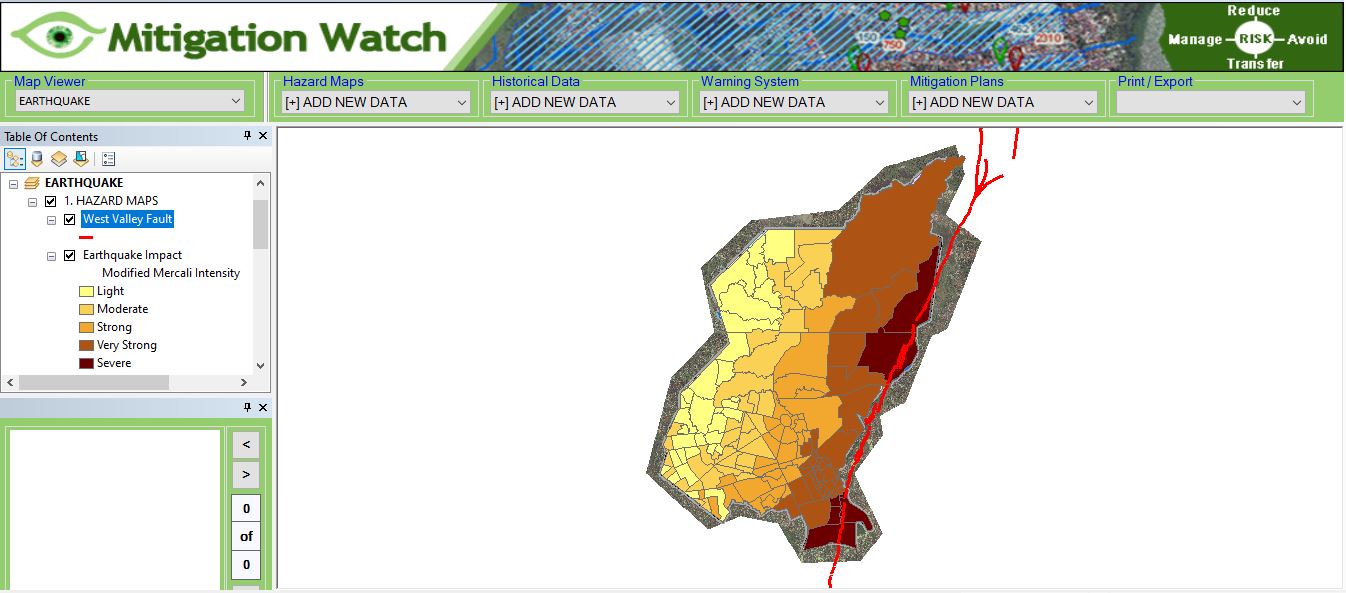
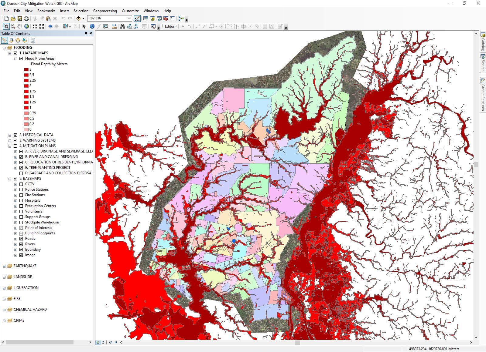
Identification of HAZARDS & RISKS and its Historical Data
Identification of Hazards & Risk and its Historical Data
Flood Prone Areas
Liquefaction Areas
Fire Prone Areas
Crime Prone Areas
Chemical Hazards
Earthquake Fault Lines
Landslide Prone Areas
Other Hazards and Risks unique to the area
Historical data of Typhoons, El Nino, Floods, Volcanic eruptions, Earthquakes, and other incidents for 5 years or more as a basis for disaster planning.
Provides tools for the Creation of Plans & Programs to reduce the effect of disaster
The following Plans & Programs can be conducted:
Tree Planting to mitigate flooding and landslide
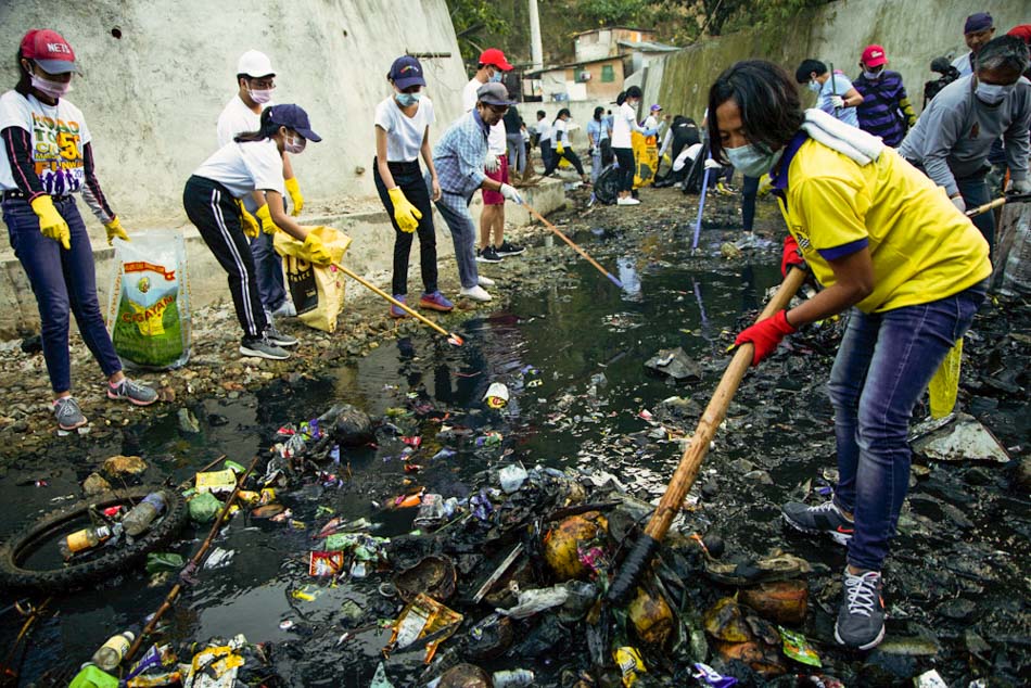
Clean-up of Sewerages, Canals, River and Creeks
Inspection of Hazardous buildings
Fire Safety Inspection
Construction of dikes to divert water flow to river and creeks
And other measures to mitigate disasters unique to the Agency’s territorial coverage.
Monitor the Plans & Programs to reduce the effects of disasters and check its progress
Mitigation Watch GIS also monitors the Mitigation Plans and Programs to see their effectiveness over time.